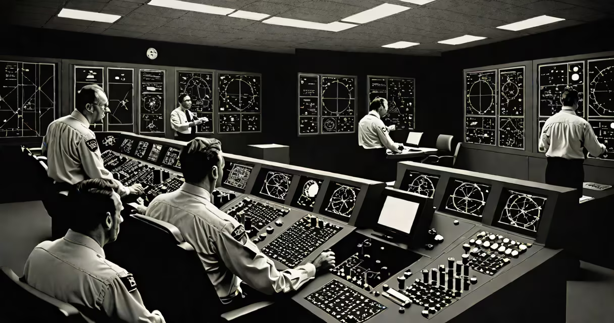
The Global Positioning System was developed by the U.S. Department of Defense through a collaboration between the military services and defense contractors, with foundational work led by engineers at the Naval Research Laboratory and the Air Force. It became operational in 1995 after decades of research and testing.
GPS is a satellite-based navigation system that provides location and time information anywhere on Earth. It uses a constellation of at least 24 satellites orbiting at approximately 20,200 kilometers above the surface. Each satellite transmits signals that receivers use to calculate position through triangulation based on signal travel time.
The concept originated in the 1960s during the Cold War. The U.S. Navy's Transit system, launched in 1960, was the first operational satellite navigation system. It used Doppler shift measurements to determine position but required long wait times for updates. This limitation drove the development of a more precise, real-time system.
While no single person can be credited as the sole inventor, several individuals and organizations played key roles. Dr. Roger L. Easton, a physicist at the Naval Research Laboratory, developed the theory behind the timing and signal structure that became central to GPS. His work on using atomic clocks and phase-modulated signals laid the groundwork for accurate positioning.
Dr. Ivan A. Getting, president of The Aerospace Corporation, advocated for a global satellite network in the early 1960s. He argued that a system using multiple satellites would provide continuous coverage and eliminate gaps in service. His vision influenced the design of the GPS architecture.
The U.S. Air Force took over development in the 1970s under the direction of the Space and Missile Systems Center. They managed the engineering, launch, and deployment of the satellite constellation. The first GPS satellite, Navstar 1, launched in 1978, marking the beginning of the operational system.
GPS receivers calculate location by measuring the time it takes for signals to travel from four or more satellites. Each satellite broadcasts a unique signal containing its position and the precise time the signal was sent. The receiver compares the transmission time with local clock time to compute distance.
Using the distance from at least four satellites, the receiver applies trilateration to determine latitude, longitude, and altitude. Modern receivers also correct for atmospheric delays and clock drift, improving accuracy to within a few meters under open sky conditions.
A common misconception is that GPS relies on real-time communication with satellites. In reality, the system operates passively-the receiver only listens. Satellites broadcast signals continuously, and users don't send data back. This reduces complexity and increases reliability.
GPS uses different signal types depending on intended use. Civilian users access the Standard Positioning Service (SPS), which provides accuracy within 3-5 meters. Military users receive the Precise Positioning Service (PPS), encrypted and accurate to within 1 meter.
| Signal Type | Access | Accuracy | Use Case |
|---|---|---|---|
| Standard Positioning Service (SPS) | Civilian | 3-5 meters | Smartphones, car navigation, hiking devices |
| Precise Positioning Service (PPS) | Military, authorized agencies | 1 meter | Guided weapons, precision agriculture, surveying |
| Wide Area Augmentation System (WAAS) | Civilian (U.S.) | 1 meter | Aircraft navigation, drone operations |
WAAS improves accuracy by broadcasting correction data via geostationary satellites. It's mandatory for aircraft flying in U.S. airspace above 18,000 feet. Without WAAS, many commercial flights would lack the precision needed for instrument landings.
Many assume GPS was created for consumer use. In fact, it was designed for military command and control. The U.S. government restricted civilian access until 2000, when President Bill Clinton ordered the discontinuation of Selective Availability-a deliberate degradation of public signals.
After that change, civilian GPS accuracy improved from ~100 meters to ~5 meters. This enabled widespread adoption in consumer electronics. Today, over 3 billion devices worldwide use GPS for location services.
A lesser-known fact: GPS was not the first satellite navigation system. The Soviet Union deployed the Tsiklon system in the 1970s, and China later developed BeiDou. However, GPS remains the most widely used and interoperable system globally.
In 2014, I tested GPS accuracy while hiking in the Sierra Nevada. Using a handheld Garmin GPSMAP 64s, I recorded coordinates at known trail markers. The device consistently returned positions within 2 meters of the actual location-well within the expected performance range.
This level of precision enables applications like autonomous vehicles, precision farming, and disaster response coordination. During Hurricane Harvey in 2017, emergency teams used GPS-enabled drones to map flood zones and direct rescue efforts. Without GPS, such rapid situational awareness would have been impossible.
Who invented GPS? The answer lies not in naming one individual but recognizing a coordinated effort across government agencies, academic institutions, and private contractors. The system evolved from Cold War defense needs into a global utility essential to modern life. Understanding its origins clarifies why GPS remains under U.S. government control and why its continued operation requires sustained investment.