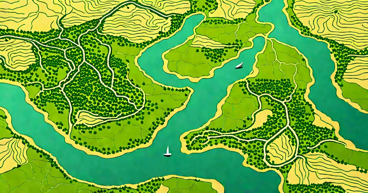
The Nile River Delta is a vast, fertile lowland formed by silt deposited where the Nile River meets the Mediterranean Sea. It spans approximately 240 kilometers (150 miles) from east to west and covers about 20,000 square kilometers (7,700 square miles), making it one of the largest and most historically significant deltas in the world.
Formed over thousands of years through continuous sediment transport from the Ethiopian Highlands and the White Nile, the delta's structure results from the river splitting into multiple distributaries before emptying into the sea. These channels carry nutrient-rich silt that replenishes soil fertility annually during seasonal floods. The delta's flat topography-averaging less than 20 meters above sea level-makes it highly susceptible to flooding and salinization, especially under rising sea levels.
Historically, the Nile River Delta was central to the development of ancient Egyptian society. Its predictable annual inundation enabled stable agriculture, which supported urban centers like Memphis and Alexandria. Modern Egypt still relies on the delta for over half of its arable land and nearly 60% of its population lives within its boundaries. The region remains a critical agricultural zone, producing wheat, cotton, and vegetables on a large scale.
Deltas form when rivers deposit sediment faster than waves or currents can disperse it. The Nile's flow slows upon reaching the Mediterranean, reducing its energy and causing suspended particles-clay, silt, and sand-to settle. Over time, this accumulation builds new land, creating a network of channels, marshes, and islands.
Unlike many deltas shaped by tidal forces, the Nile River Delta is primarily fluvial (river-driven). Its current configuration dates back to around 5,000 BCE, when the Nile shifted course due to tectonic activity and sediment buildup. The river originally flowed through a single main channel, but over millennia, it branched into multiple distributaries, including the Rosetta and Damietta branches.
A key factor in delta stability is sediment load. The Nile carried an estimated 120 million tons of sediment annually before the construction of the Aswan High Dam in 1970. Since then, sediment delivery has dropped by over 90%, leading to coastal erosion and reduced soil fertility. Without natural replenishment, the delta now depends heavily on artificial fertilizers and irrigation systems.
The Nile River Delta consists of three primary zones: the upper delta, the middle delta, and the lower delta. Each has distinct hydrological and agricultural characteristics.
| Zone | Geographic Range | Key Features | Farming Focus |
|---|---|---|---|
| Upper Delta | From Cairo to Mansoura | Most densely populated; high groundwater tables; frequent flooding in historical records | Cotton, rice, citrus fruits |
| Middle Delta | Between Mansoura and Tanta | Extensive canal networks; mixed agriculture; higher salinity due to seawater intrusion | Vegetables, onions, tomatoes |
| Lower Delta | From Tanta to the sea (Rosetta and Damietta mouths) | Wetlands and marshes; vulnerable to storm surges; home to migratory birds | Reed cultivation, fish farming |
These zones reflect long-term changes in river dynamics and human intervention. For example, the construction of the Aswan High Dam eliminated the annual flood cycle, altering traditional farming calendars. Farmers now rely on irrigation from the Nile's regulated flow, managed through a system of barrages and canals.
Many assume the Nile River Delta is a single, static landform. In reality, it is changing and constantly changing. Sediment deposition occurs unevenly, and erosion at the coastline outpaces new land formation in some areas. Satellite imagery from 2000 to 2020 shows a net loss of 150 square kilometers of delta land due to subsidence and sea-level rise.
Another misconception is that the delta is entirely natural. While the basic structure originated from geological processes, centuries of human engineering have reshaped it. Ancient Egyptians diverted water using basins and canals. Modern infrastructure includes the El-Mahmoudia Canal, which connects the Nile to the Mediterranean and supports shipping between Alexandria and Cairo.
A lesser-known fact: the Nile River Delta is not a perfect triangle. Early maps by Greek geographers like Strabo described it as a "triangle," but modern surveys show it resembles a fan or a lobe. This shape results from multiple distributary channels spreading out rather than converging into a single apex. The term "delta" itself derives from the Greek letter Δ, which resembles the shape, but not all deltas match this form.
In 2022, the Nile River Delta produced 13.4 million tons of wheat and 1.8 million tons of cotton-accounting for 78% of Egypt's total cotton output. The region contributes about 22% of the country's GDP, despite covering only 3% of its land area.
Yet environmental stress is mounting. A 2021 study by the United Nations Environment Programme found that 40% of the delta's farmland is affected by salinization due to seawater intrusion and poor drainage. In the Damietta branch, saltwater has moved inland up to 12 kilometers in some areas, rendering fields unusable.
One farmer in Faiyum, near the western edge of the delta, reported losing 60% of his tomato crop in 2023 due to saline groundwater. He switched to drought-resistant varieties and installed a reverse osmosis system, but costs rose by 40%. His experience reflects a growing trend across the region.
The Nile River Delta remains important to Egypt's food security, economy, and cultural identity. Its survival hinges on managing water allocation, reducing pollution, and adapting to climate change. Rising sea levels threaten to submerge low-lying areas by 2100, according to models from the Intergovernmental Panel on Climate Change.
Efforts to preserve the delta include the National Delta Strategy launched in 2019, which prioritizes sustainable agriculture, improved drainage, and coastal protection. Projects like the New Alamein City aim to reduce pressure on the existing delta by relocating industrial and residential growth northward.
Understanding the Nile River Delta is essential for grasping how geography, history, and environmental policy intersect. It is not just a geographical feature-it is a living system shaped by nature and human action over millennia.